

In A Nutshell
Staring out at the ocean from a beach, it might be easy to imagine that the world’s seas are completely flat. However, winds and gravity actually cause sea level differences around the world. One of the most pronounced ways this is illustrated is during an El Nino event, during which water that has been pushed west by winds comes rushing back to the East (and ruins a lot of Peruvian farms in the process).
The Whole Bushel


We have big news: The globe isn’t flat, and neither are the world’s oceans. We’re aren’t just talking about the ocean floor, but the actual surface of the ocean. Like even the flattest grasslands, the world’s oceans have varied elevations.
The difference is sea level is caused by two major factors: tides and ocean currents. Tides are mainly caused by the gravitational pull of the Moon and the Sun, acting on the Earth’s surface. Ocean currents are caused by winds and a mixing of waters with different densities. The Earth, as a system, is always trying to reach equilibrium; wind is caused by air flowing from areas of high pressure to low pressure. Consequently, some water gets pushed around in the process. The Atlantic Ocean is about 20 centimeters (8 in) lower than the Pacific Ocean near the Panama Canal as a result.
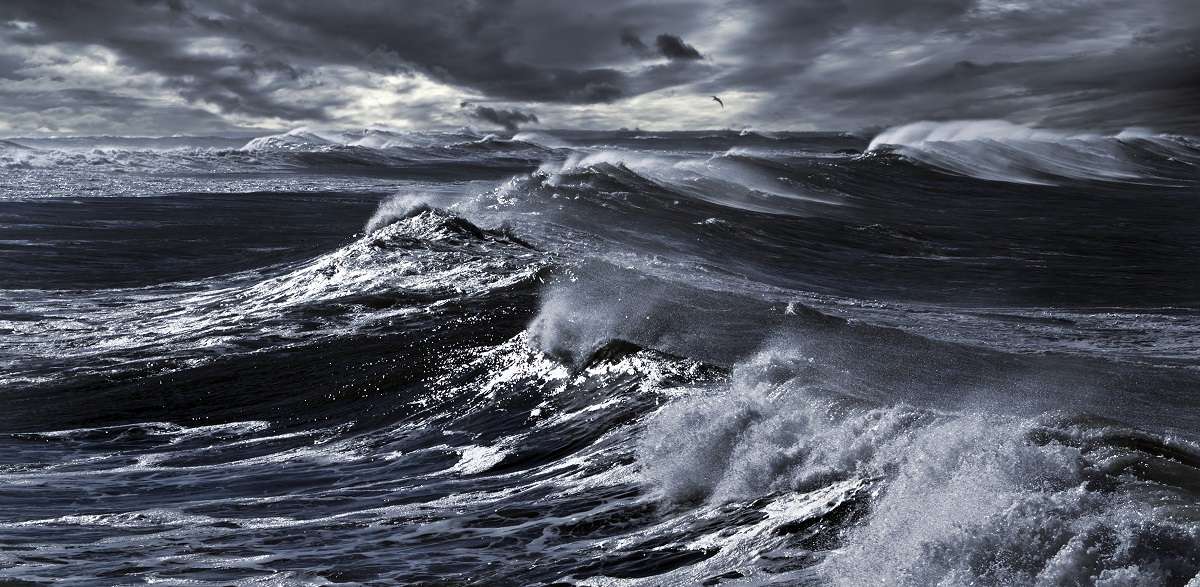
The difference in sea level can have dramatic effects. One of the most obvious examples of this is El Nino Southern Oscillation, commonly simply referred to as El Nino. In the Pacific Ocean, winds cause a build-up of warm ocean water near the Indonesian coast—the sea level is somewhere around 60 centimeters (24 in) higher than it is along the South American coast. When these winds (the Southeast Trade Winds) inevitably slacken, the warm water comes rushing back to the east. This happens every 2–10 years and has a drastic effect on the climate. Peru can experience massive flooding, while Indonesia and Australia suffer from drought. (A weak El Nino event is expected to occur by the end of 2014.)
El Nino’s counterpart, La Nina, is the result of increased wind pressure and causes heightened normal conditions.
The varied topography of the Earth means that it isn’t a perfect sphere either. With so much varied elevation on land and sea, the Earth is technically considered a bumpy geoid—a more realistic representation based on Earth’s gravity.
Show Me The Proof
NASA: Ocean Surface Topography
Permanent Service for Mean Sea Level: FAQ
El Nino, Intelecom (video)
Bloomberg: Weak El Nino Evolving by Year-End as Sea Warmer Than Usual
Weather Questions: What causes wind?


